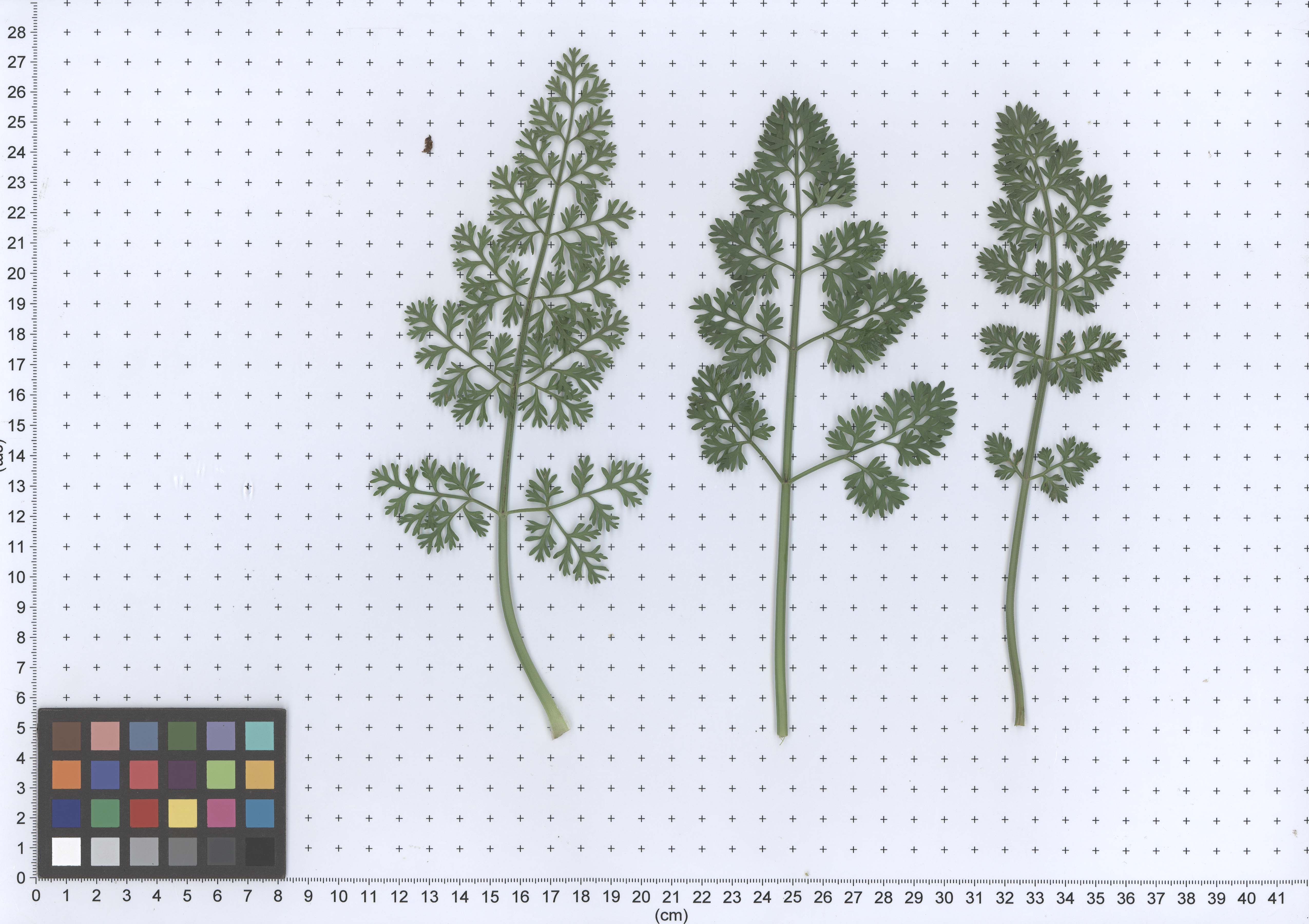
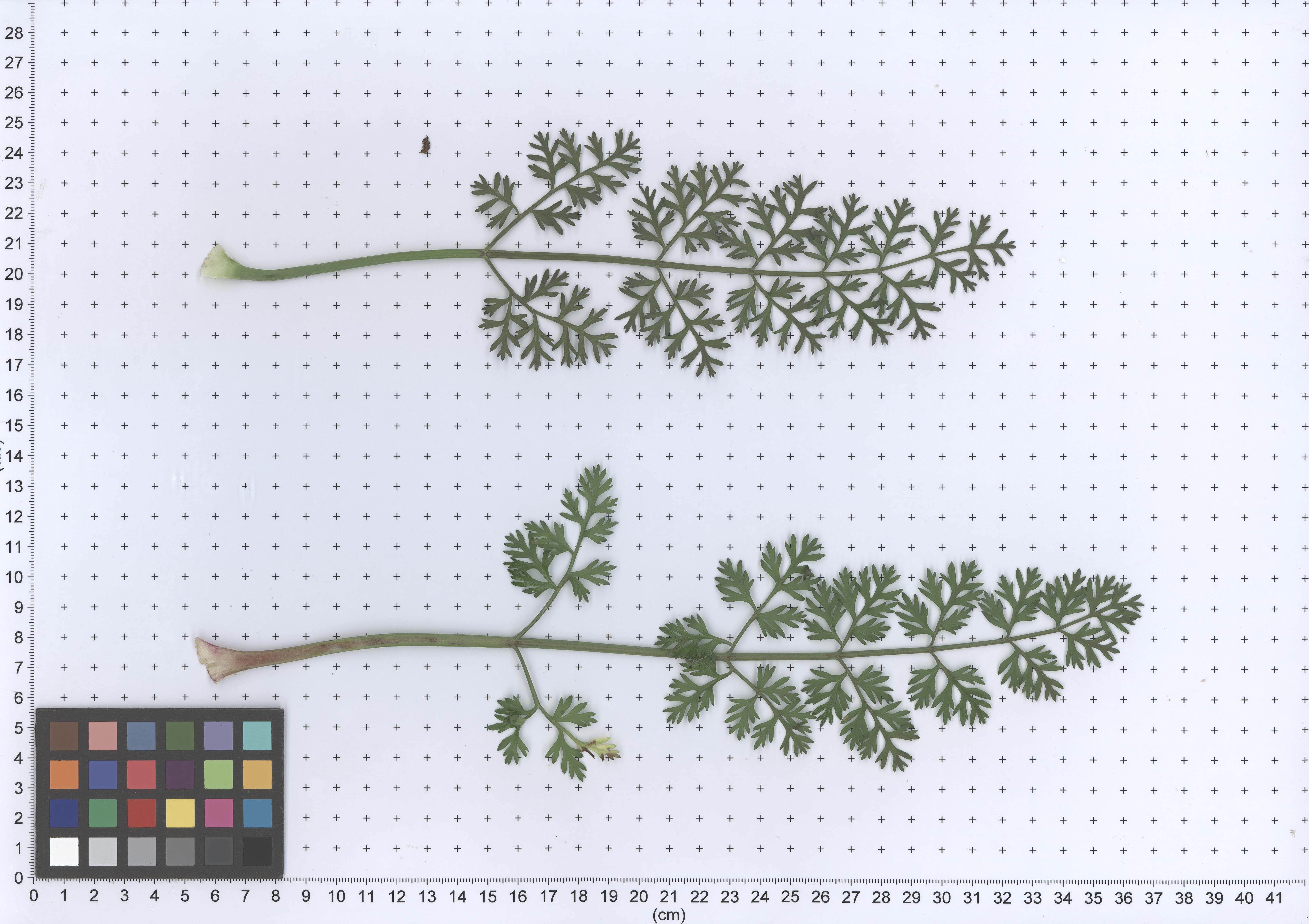
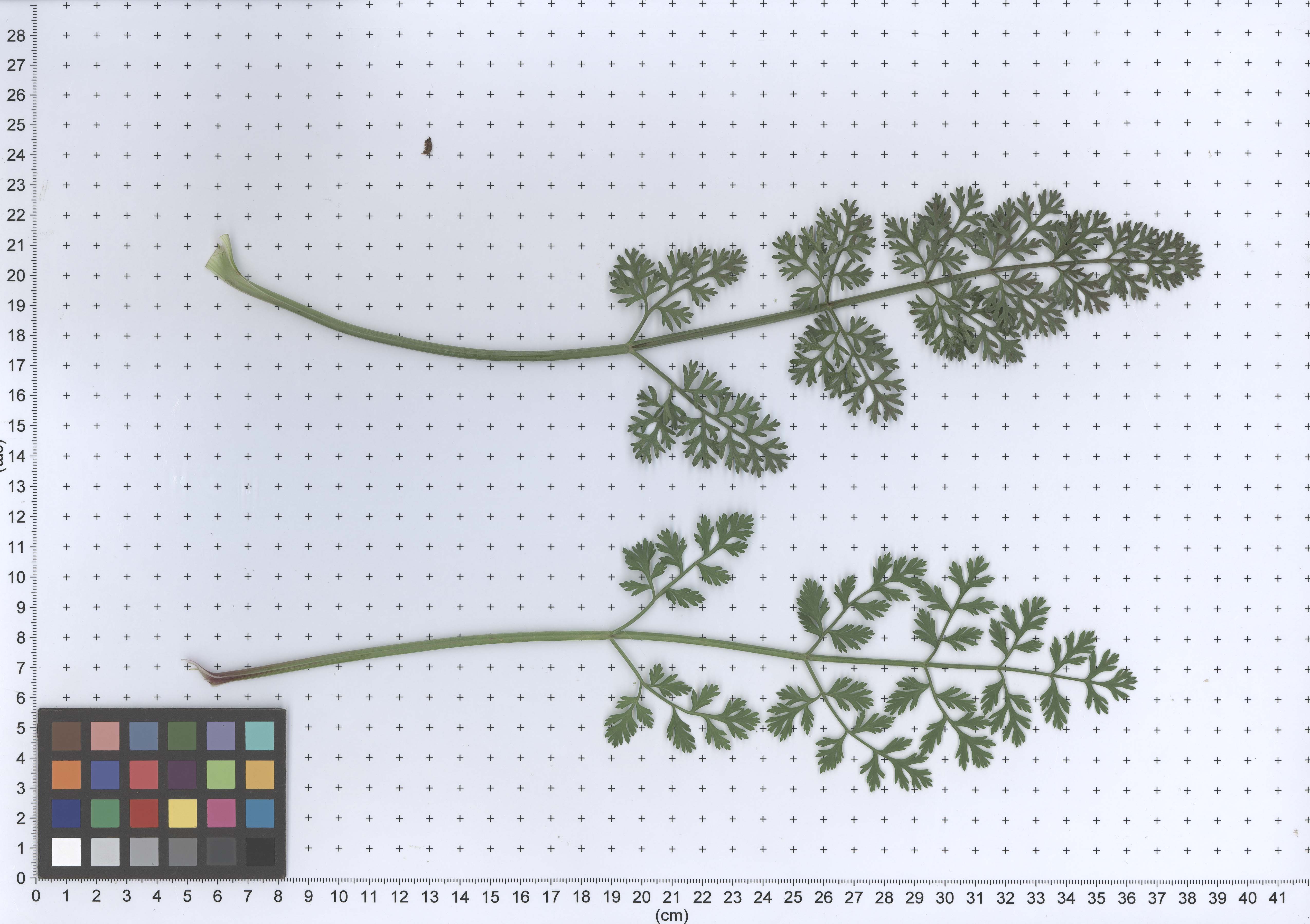
Daucus pusillus United States of America
Name
Daucus pusillus United States of America
Unique Name
PI 661256
Organism
Type
germplasm
Alias
- TX-041
- PJ0510
- Ames 30879
Collections
Stock_center
GRIN Accession
Data_year
2010
Description
Synonyms:Ames 30879:PJ0510:TX-041; COLLECTED 05/28/2010 Texas, United States by Stieve, S., The Ohio State University; Marr, M., Lady Bird Johnson Wildflower Center; Jourdan, P., The Ohio State University; Zale, P., The Ohio State University. DONATED 02/07/2011 Ohio, United States by Stieve, S., The Ohio State University
Publication
- Arbizu C, Reitsma KR, Simon PW, Spooner DM. Morphometrics of Daucus (Apiaceae): a counterpart to a phylogenomic study.. American journal of botany. 2014 Nov; 101(11):2005-16.
- Arbizu C, Ruess H, Senalik D, Simon PW, Spooner DM. Phylogenomics of the carrot genus (Daucus, Apiaceae).. American journal of botany. 2014 Oct; 101(10):1666-85.
- Arbizu CI, Simon PW, Martínez-Flores F, Ruess H, Crespo MB, Spooner DM. Integrated Molecular and Morphological Studies of the Daucus guttatus Complex (Apiaceae). Systematic botany. 2016; 41(2):479-492.
- Martínez-Flores et al. Extended studies of interspecific relationships in Daucus (Apiaceae) using DNA sequences from ten nuclear orthologues. Botanical Journal of the Linnean Society. 2019. 191(2):164-87
Relationship
The Germplasm Accession PI_661256_11ncao51_SD:DAUCUS.AMES.OBS.2013 is sample of Germplasm Accession Daucus pusillus United States of America
Primary Database Reference
Database Reference Annotations
Geographic Location
Latitude: 29.843610, Longitude: -97.431660, Altitude: 153m
United States of America: Along Route 713 (Farm to Market Raod), 5 miles south of Rockne, Bastrop County.
View Larger Map
United States of America: Along Route 713 (Farm to Market Raod), 5 miles south of Rockne, Bastrop County.
View Larger Map
Analysis
Sequence Feature
- S15477_Daucus_pusillus_661256
- S17932_Daucus_pusillus_661256
- S23618_Daucus_pusillus_661256
Image
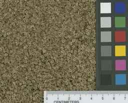
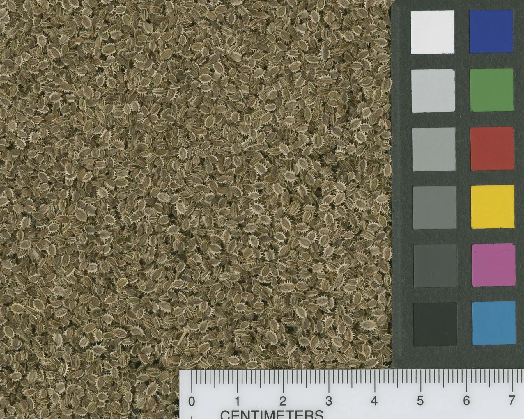
- legend: PI 661256 11ncao01 SD | 2011-02-15 | NPGS Image of original seeds
- comments: GRIN Image
- dataset_name: GRIN Image
- date: 2011-02-15
- photo_provider: Reitsma, Kathleen, Iowa State University
- project_id: 8
- sample: PI 661256 11ncao01 SD
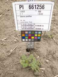
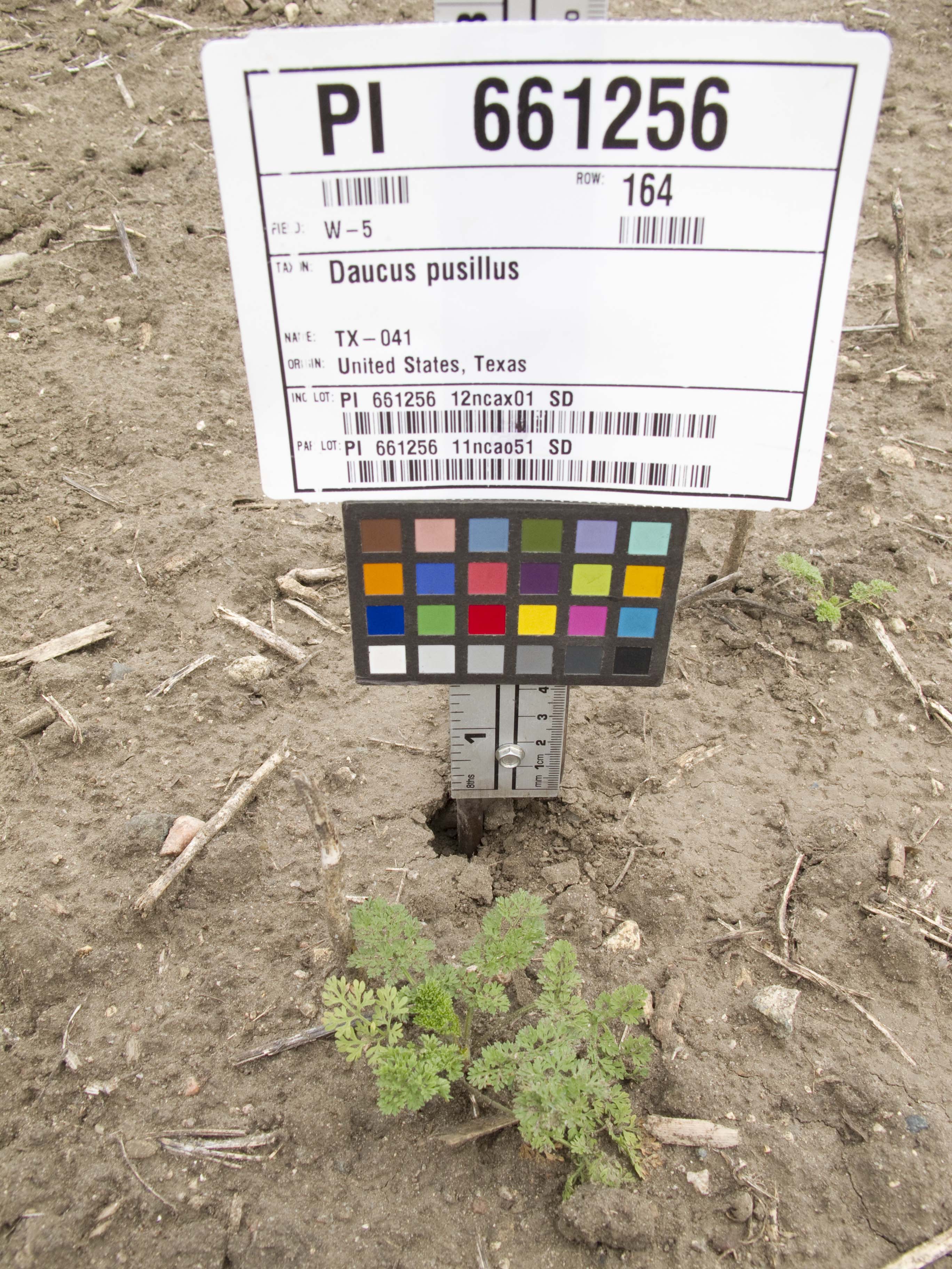
- legend: PI 661256 11ncao51 SD | 2012-06-15 | NPGS Digital image of Daucus plant
- comments: GRIN Image
- dataset_name: GRIN Image
- date: 2012-06-15
- photo_provider: Reitsma, Kathleen, Iowa State University
- project_id: 8
- sample: PI 661256 11ncao51 SD
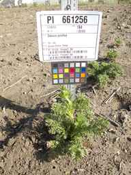
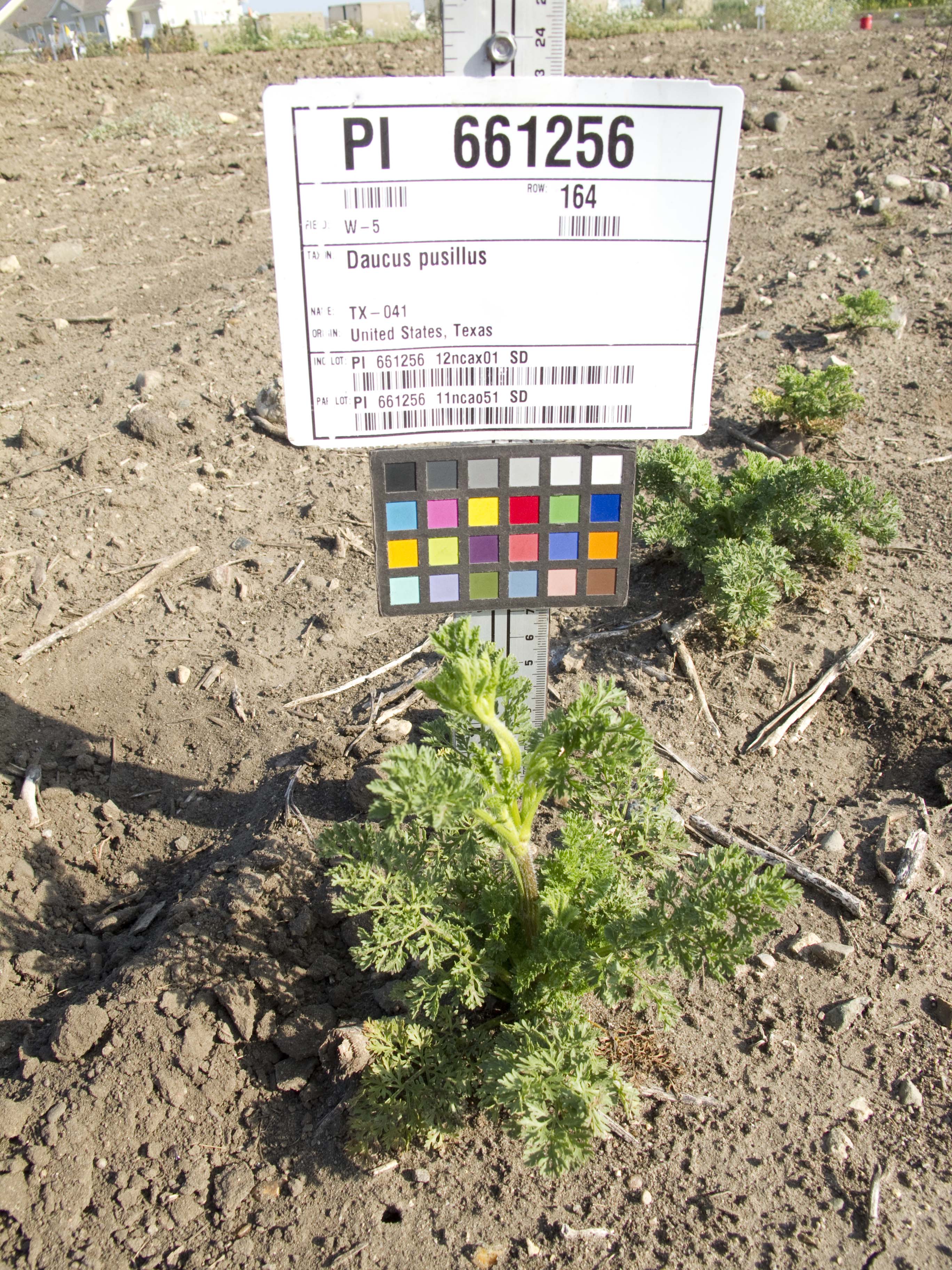
- legend: PI 661256 11ncao51 SD | 2012-07-18 | NPGS Digital image of Daucus plant
- comments: GRIN Image
- dataset_name: GRIN Image
- date: 2012-07-18
- photo_provider: Reitsma, Kathleen, Iowa State University
- project_id: 8
- sample: PI 661256 11ncao51 SD
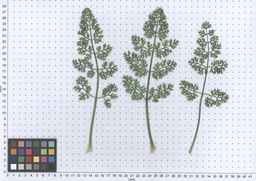
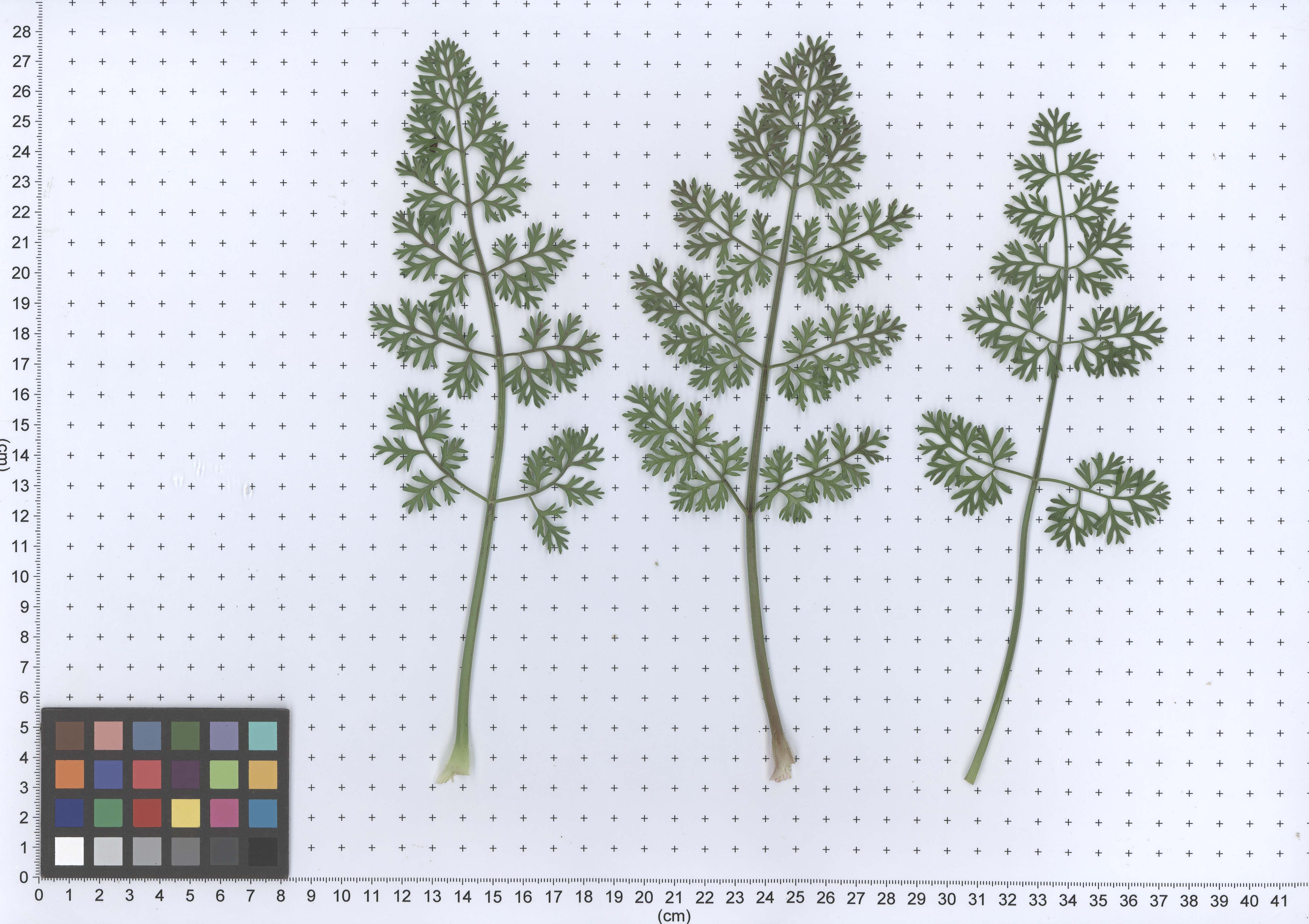
- legend: plant
- comments: GRIN Image
- dataset_name: GRIN Image
- date: 2013-06-17
- project_id: 8
- sample: PI 661256 11ncao51 SD
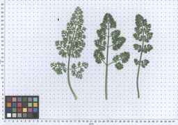
- legend: plant
- comments: GRIN Image
- dataset_name: GRIN Image
- date: 2013-06-17
- project_id: 8
- sample: PI 661256 11ncao51 SD

- legend: plant
- comments: GRIN Image
- dataset_name: GRIN Image
- date: 2013-06-17
- project_id: 8
- sample: PI 661256 11ncao51 SD
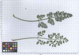
- legend: plant
- comments: GRIN Image
- dataset_name: GRIN Image
- date: 2013-06-17
- project_id: 8
- sample: PI 661256 11ncao51 SD